Property Information
Living Accommodation
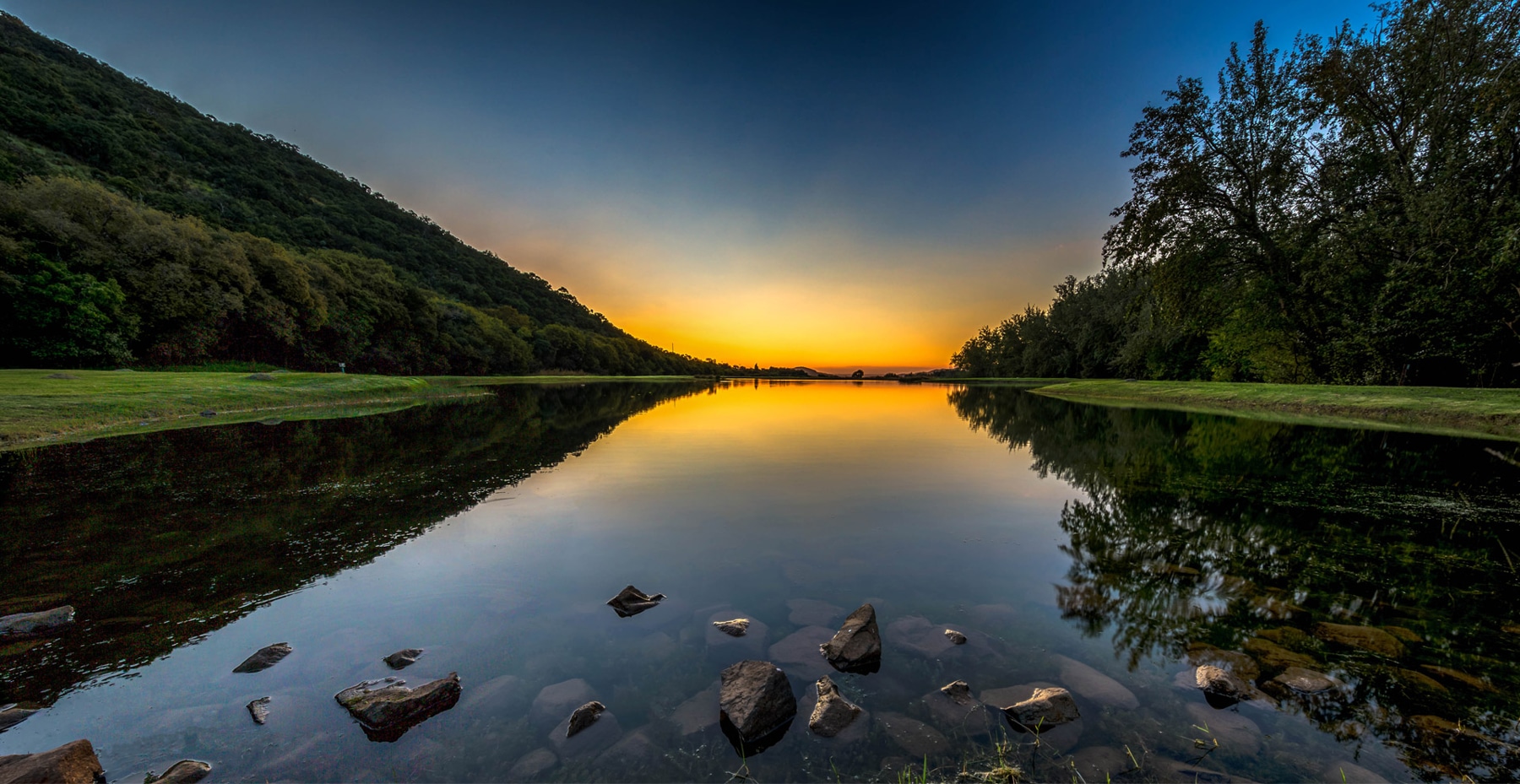
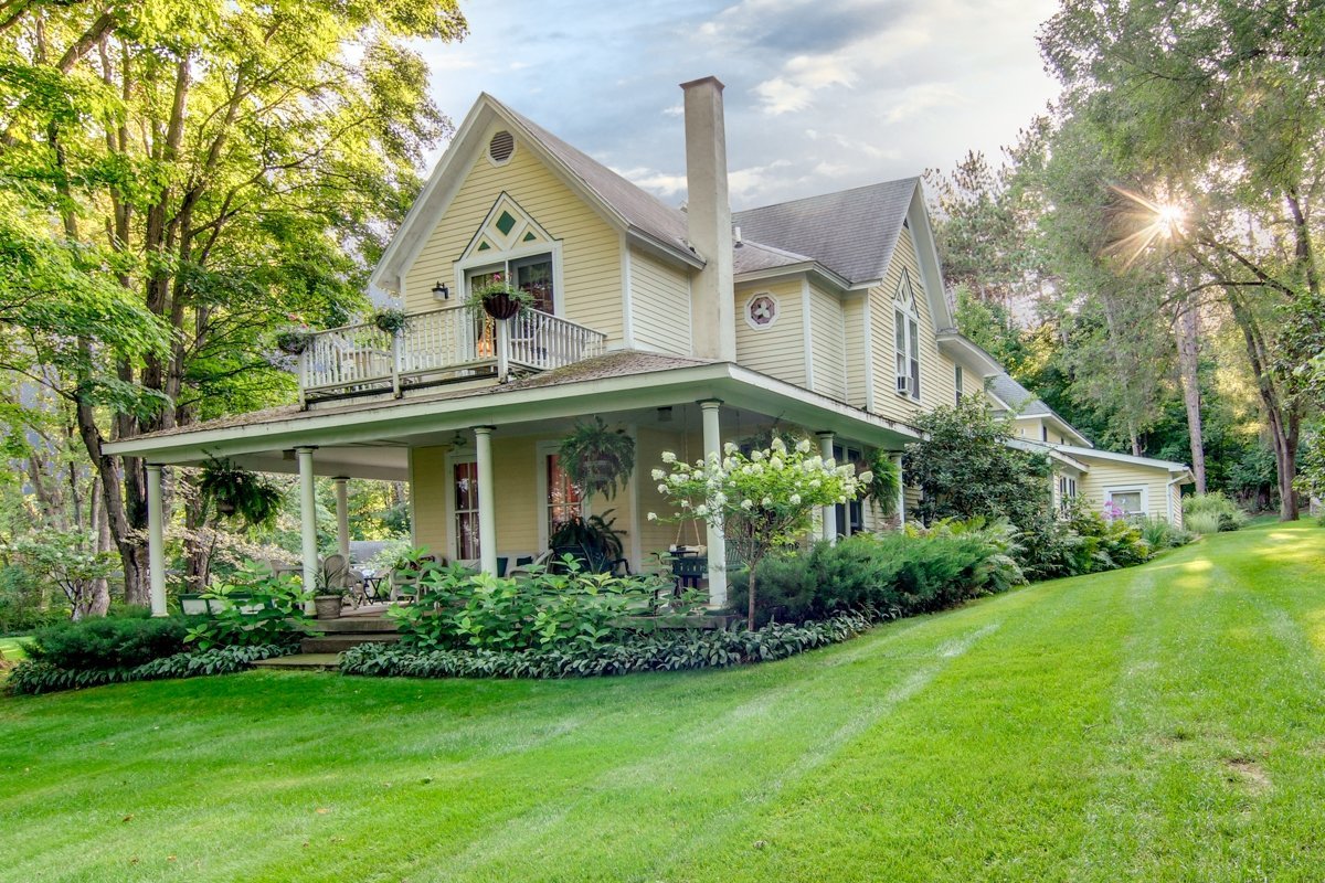
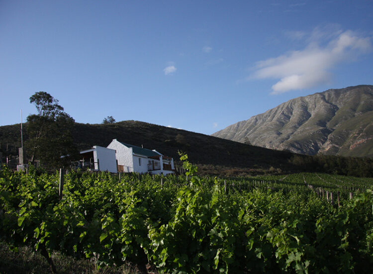
The four-bedroom main farmhouse was built in 1933 and has porch areas overlooking the splendor of the Langeberg mountains. Three bedrooms have en-suite bathrooms and the lounge and kitchen have indoor fireplaces.
The second house has three bedrooms and one bathroom with open plan kitchen and lounge with indoor fireplace.
The two bedroom and two-bathroom mountain cottage is semi tucked in behind a ridgeline and overlooks a gorge.
Premises Details
Infrastructure consists of two houses with a guest chalet and five laborer cottages. Three sheds, of which one is fully upgraded to be a restaurant with complete kitchenette.
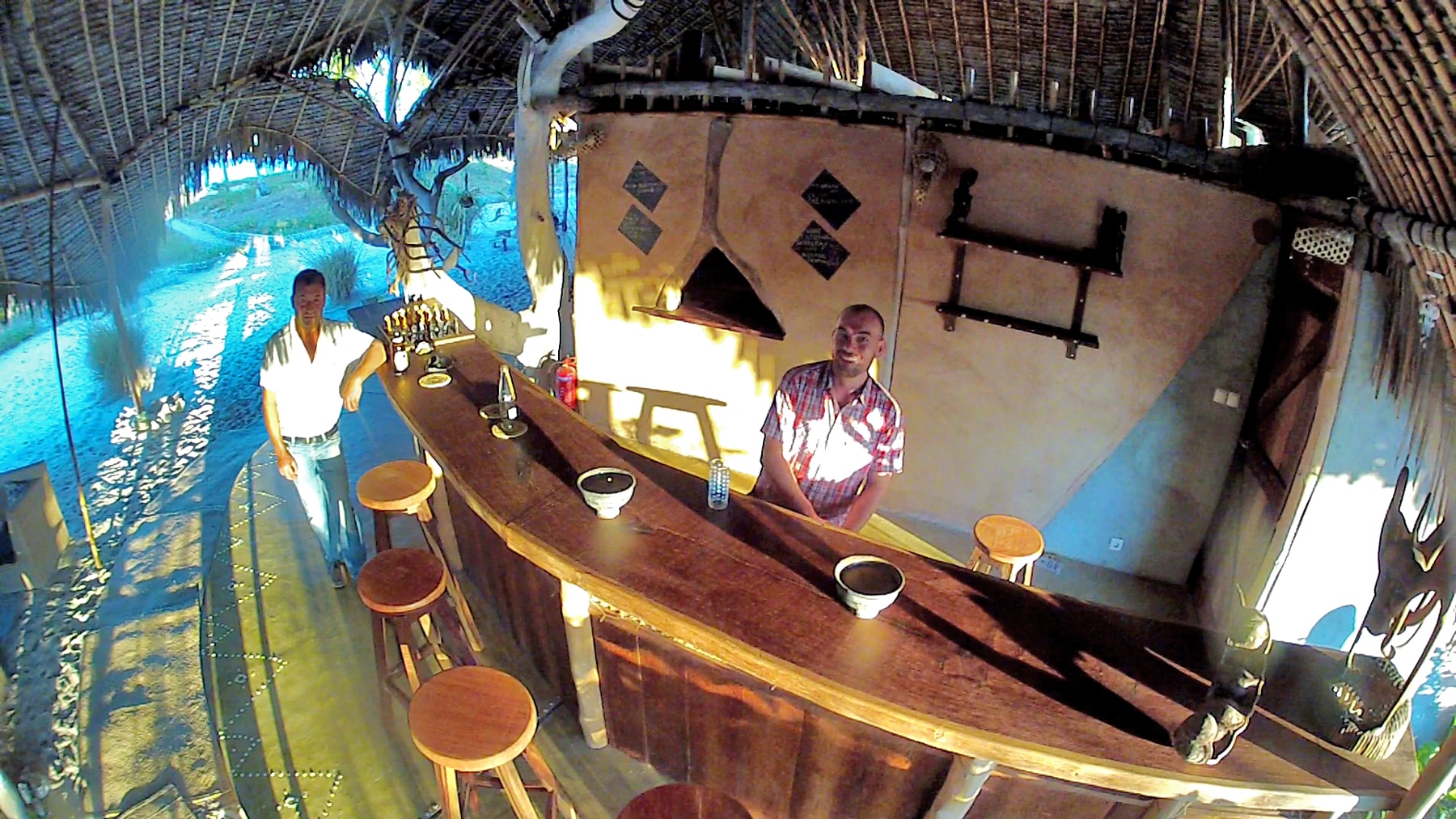
The 40-seater restaurant shed has ablution as well as kitchen area where lunches are served three days a week. The shed also houses the microbrewery as well as distillery and shop. The roll up doors allows for the outside to be fully enjoyed with double glazing doors for temperature control.
The second shed is also brand new with three phase electricity and roller doors.
Building Sizes
- Main House - 340 m²
- Second House - 140 m²
- Restaurant - 540 m²
- Kitchen - 35 m²
- Shed 1 - 340 m²
- Second Shed - 300 m²
- Guest Cottage 120 m²
The farm just went totally Green with the 50 kVA solar system installed on the two main sheds. The solar powers the water pumps, houses and all other buildings.
Size of the property
382 hectares
Planning Consent
Agric 2
Route 60, Western Cape, South Africa
The R60 is a provincial route in Western Cape, South Africa that runs along the Breede River Valley, connecting Worcester with Swellendam via Robertson. It also provides a high-speed highway link between the N1 and the N2 national roads.
Asthon
Ashton is a small town in the Western Cape in South Africa. The town is at the foot of the Langeberg mountain range, 10 km southwest of Montagu and 19 km east-southeast of Robertson. It is situated in a valley known for production of wines and fruit.
Ashton is known for its canning factory, which has faced economic challenges in recent years. Ashton is also home to various tourist attractions, including vineyards and the Ashton Steam Locomotive.
History
It was established in 1897 on the Roodewal farm and attained municipal status in January 1956. The town was named after the first station-master.
Swellendam
Swellendam (Afrikaans: ['swæːləndam]) is the third oldest town in South Africa (after Cape Town and Stellenbosch), a town with 17,537 inhabitants situated in the Western Cape province. The town has over 50 provincial heritage sites, most of them buildings of Cape Dutch architecture. Swellendam is situated on the N2, approximately 220 km (140 miles) from both Cape Town and George.
History
In 1743, Swellendam was declared a magisterial district, the third-oldest in South Africa, and was named after Governor Hendrik Swellengrebel, the first South African born Governor, and his wife, Helena Ten Damme. This outlying settlement soon became a gateway to the interior, and was visited by many famous explorers and travellers including François Le Vaillant (1781), Lady Anne Barnard (1798), William John Burchell (1815), and Thomas William Bowler (1860). In time, a village was established beyond the Drostdy, where artisans including numerous wainwrights and traders settled. Swellendam was the last Dutch outpost on the eastern frontier, and provided useful crafts services in the region.
By 1795, maladministration and inadequacies of the Dutch East India Company caused the burghers of Swellendam to revolt, and on 17 June 1795, they declared themselves a Republic. Hermanus Steyn was appointed as President of the Republic of Swellendam. The burghers of Swellendam started to call themselves "national burghers", after the style of the French Revolution. The Republic was short-lived, and was ended on 4 November 1795, when the Cape was occupied by the Kingdom of Great Britain. With the arrival of British settlers in the early 19th century, the Overberg boomed, and Swellendam was soon the heart of the mercantile empire of Barry and Nephews, created by Joseph Barry, which dominated trade in the area up until 1870. The Breede River is the longest navigable river in South Africa and ships sailed 35 km (20 miles) up river to Malgas to unload and load merchandise.
By the middle of the 19th century, the eastern districts had been colonised by the British settlers and Swellendam had grown in size. The town served as a useful refreshment station on the long, slow journey up the coast. Today Swellendam remains an agricultural area, and contains multiple historic buildings. The first known sketch of Swellendam was of the Drostdy, by Johannes Schumacher in 1776, when he accompanied the son of Governor Swellengrebel to the town. Today the Drostdy forms part of a museum complex that consist of several heritage sites, namely the Drostdy, the old Gaol, and Mayville.
The 1936 census recorded a total population 3,784 residents.
Famous pioneer families
Some of the famous families that settled in the region and have since lived there are the Barry family, the Moodies from Scotland, the Steyns (Including The President of the Republic of Swellendam) the Streicher family, the Van Eeden family, the Rothmann family, the Tomlinson family and the Dunn family. Both Johannes Brand and Francis Reitz spent some of their childhood in the same Cape Dutch house in Swellendam. Both became presidents of the Orange Free State .
Climate
The region has a predominantly Mediterranean climate. There are long summer days in January and February. During February and March, summer draws to a close, with prevailing South Easter winds. April and May are autumnal months, with milder days and occasional showers. June and July bring the Cape winter, with mild weather, rain and possible snow on the mountain tops. August and September are the start of spring.














 Name: BondExcel
  Name: Businessentials For Hospitality
  Name: Capital Efficiency Group
  Name: D E I R D R E R E N N I E R S Interior Design
  Name: De Leeuw Valuers Cape Town
  Name: E C Mobility
  Name: Edward Tokolo Kasete
  Name: Electrolux Professional
  Name: Exquisite Hotel Consultants' Hospitality Training Department
  Name: FVE Interiors
  Name: Healing Earth
  Name: Hospro
  Name: Hotel Revenue Management
  Name: Indigo Real Estate Agency
  Name: Lisa Dunn - Tourism Grading Assessor
  Name: Ooba (Pty) Ltd
  Name: SK Sambu Tours & Transfers
  Name: Soul Private Collection
  Name: The Dumb Butler Hospitality Suppliers
  Name: The High Street Auction Company
  Name: Touch Point Retail