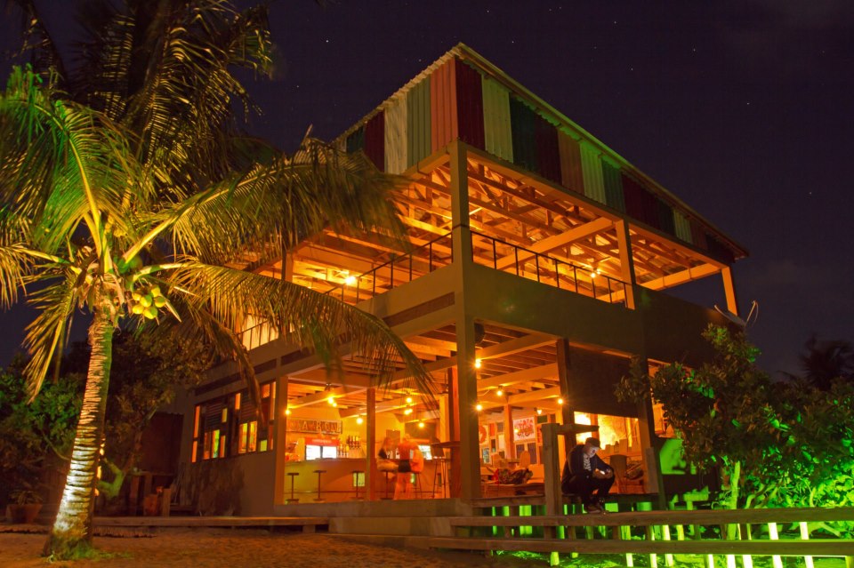
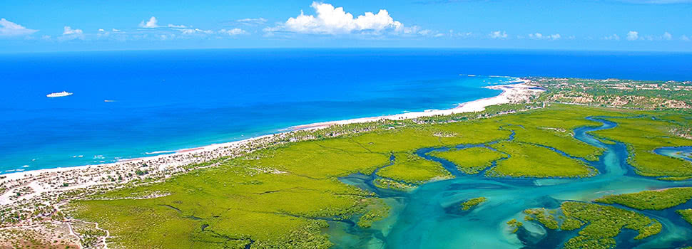
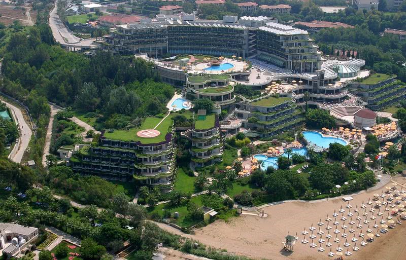
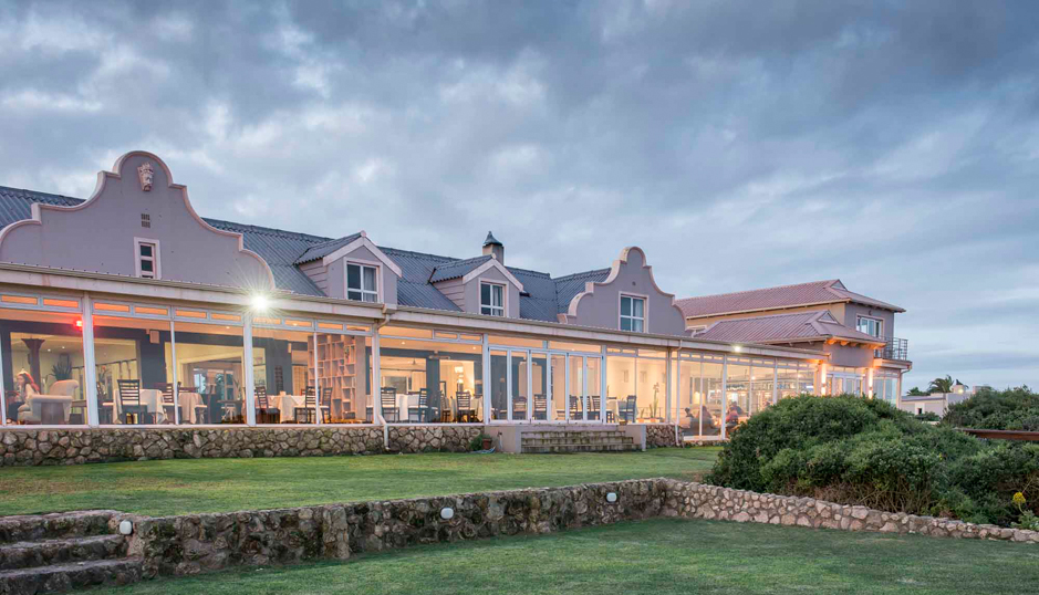
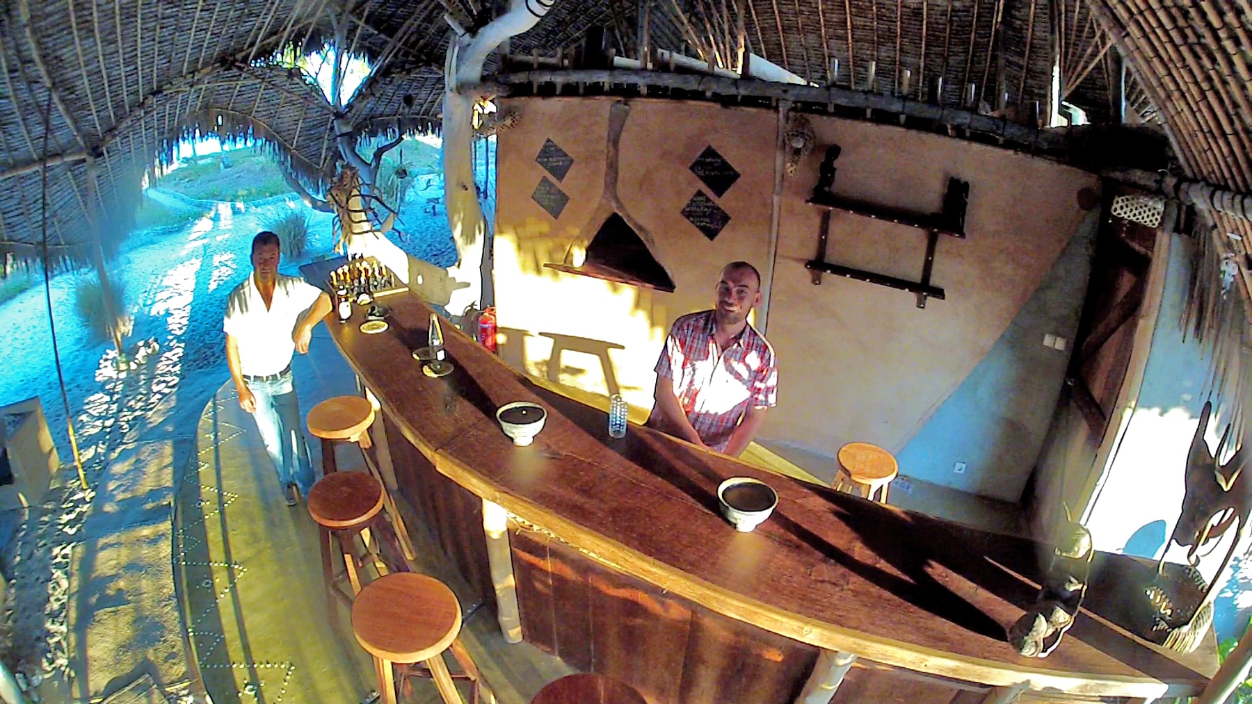
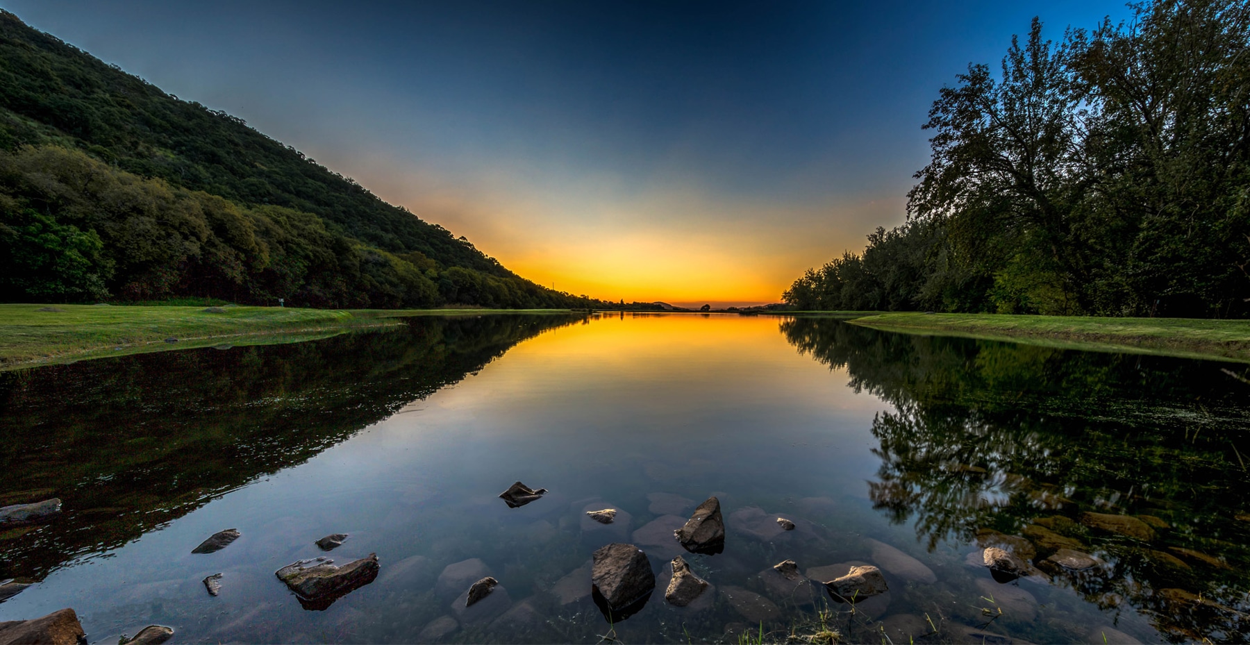
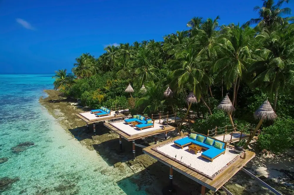
Port Barton is a small fishing village located on a bay in the municipality of San Vicente in the Northern part of Palawan. It is still relatively unknown to tourists. The main beach, with its calm waters and a long stretch of sand, is surrounded by pristine rainforest. You’ll like Port Barton’s simplicity and its people’s hospitality so much, that you’ll never want to leave.
Quick Facts
- With an area of 923.26 km2 (356.47 sq mi) Port Barton is a small village in the municipality of San Vicente, located in the north-western side of the main island of Palawan.
- The wet season is from June to October.
- The dry season, from November until May.
- The recently opened airport in San Vicente town is the closest airport to Port Barton.
- The easiest way to reach Port Barton from San Vicente town is by boat.
- There are daily shuttle vans that run from El Nido to Port Barton and from Puerto Princesa to Port Barton.
- There are no banks and no ATMs in Port Barton. Bring a sufficient amount of cash with you. Credit cards are rarely accepted.
- Internet access is limited and very slow.
- There is no electricity in Port Barton, except from 5:30 PM till midnight.
- Top tourists attractions in Port Barton are: Exotic Island and German IslandThe average length of stay in Port Barton is 3 days.
- German Island: Crystal clear water, white sand beach, and a good snorkeling site a few meters from the island
- Exotic Island: one of the most beautiful island in Port Barton composed of two islands separated by a narrow channel with shallow waters
- Papuwyan Waterfall: this lovely falls with a gorgeous scenery are locate about one hour walk from the town
- Paradise Island: a tiny island food for snorkeling and chill on the sun. It’s not very popular so you can have the entire island almost for yourself
Port Barton is not on the typhoon path.
San Vicente
San Vicente, officially the Municipality of San Vicente, is a 1st class municipality in the province of Palawan, Philippines. According to the 2020 census, it has a population of 33,507 people.
It is located on the north-western side of the main island of Palawan and is 186 kilometres (116 mi) from Puerto Princesa City. It occupies a total land area of 146,294 hectares (361,500 acres).
San Vicente's 14.7 kilometres (9.1 mi) of beachfront, popularly called the Long Beach, is being converted into an emerging tourist destination that will be the beneficiary of government spending on infrastructure. The Long Beach has two (2) rocky cliffs interrupting the continuous expanse of approximately 14.7 kilometers of sugary white sand beach dividing it into three (3) coves. It is the longest white sand beach in the Philippines and is the flagship of the Municipality. The Long Beach spans to the coastline of four barangays namely Poblacion, New Agutaya, San Isidro and Alimanguan.
History
In 1952, migrants from Manamoc, an island of the Cuyo Archipelago, arrived in a place called Malagnang (muddy/ maputik) a sitio of Kemdeng, formerly part of Puerto Princesa. The first to arrive were the Dandal brothers (Anastacio, Ricardo, and Lauro), Alberto Radam, and Marcelino Gadiano with their families. After sometime their relatives followed forming a small community which gave rise to the election of Anastascio Dandal as the first Barrio Lieutenant.
The small ethnic group of Agutaynon and Cuyunon increased in number and with the increase disputes emerged particularly in the choice of the town's Patron Saint. The Cuyunon wanted Saint Vincent Ferrer while the choice of Agutaynon was Saint Isidro Labrador. The group decided to resolve the issue by drawing a lot. The name of Saint Vincent Ferrer was drawn thus the name Malagnang was changed to San Vicente.
The Municipality of San Vicente was created on June 21, 1969, by virtue of Republic Act 5821. It officially functioned as a distinct municipality on January 2, 1972.
The present Municipality was created out of several barrios from the Municipalities of Taytay and Puerto Princesa (now a highly urbanized city). The barrio of New Agutaya up to the northernmost barrio of Binga used to be part of Taytay while the barrio of San Vicente (Poblacion) down to the southernmost barrio of Caruray were part of Puerto Princesa. The barrio of San Vicente used to be a sitio named Malagnang until it was upgraded into a barrio and renamed by law in 1959.
Geography
San Vicente is nestled in the northwest of Palawan's mainland, bounded by the Philippine West Sea in the West, the municipality of Taytay in the north, Roxas in the East and City of Puerto Princesa in the Southwest. With a forest area of 82,080.09 hectares and 22 identified islands and islets within its municipal boundaries. San Vicente is located in the north-western side of the main island of Palawan and is 186 kilometers from Puerto Princesa City. It occupies a total land area of 165,797.6525 hectares.
Barangays
San Vicente is politically subdivided into 10 barangays.
- Alimanguan
- Binga
- Caruray
- New Villa Fria (Kemdeng)
- New Agutaya
- New Canipo
- Port Barton
- Poblacion (San Vicente)
- San Isidro
- Santo Niño
Demographics
In the 2020 census, the population of San Vicente, Palawan, was 33,507 people, with a density of 23 inhabitants per square kilometre or 60 inhabitants per square mile.
In the 2010 NSO Census, San Vicente had a total population of 30,919 at a growth rate of 6%. The population increased by 3,500 from 27,065 in 2008 based on CBMS survey within a 2-year gap. The total number of households was 6,460 with an average household size of 5 members.
Economy
Fishing and farming are the major economic activities in San Vicente wherein 29.50% and 25.77% respectively are engaged in it. Rice and coconut are the major agricultural crops and fish products are adequate in the municipality.
San Vicente is predominantly fishing and a farming municipality and now gaining recognition as a center of interest for Tourism. San Vicente can offer a diverse range of attractions for adventure and nature enthusiasts. Roads and other infrastructure support facilities are now on its implementation process through the help of the National Government.
As San Vicente Palawan slowly emerges to become one of the tourism hot spots in the Philippines, the real industry sector becomes dramatically stronger. Many landowners who have more than tens of thousand-hectare properties have earned millions of pesos on selling their lots to investors. Beachfront properties sell like pancakes in the real estate market.
Many millionaires have ventured into land banking in San Vicente Palawan with its robust potential, earning exponentially from re-selling their acquired properties. Historically, rice field properties were sold at P300,000 per hectare in 2014. Three years later, a hectare big usually costs P3,000,000, with another increase after the San Vicente Airport started servicing small commercial planes.
Philippines
The Philippines, officially the Republic of the Philippines, is an archipelagic country in Southeast Asia. It is situated in the western Pacific Ocean and consists of about 7,640 islands, that are broadly categorized under three main geographical divisions from north to south: Luzon, Visayas, and Mindanao. The Philippines is bounded by the South China Sea to the west, the Philippine Sea to the east, and the Celebes Sea to the southwest, and shares maritime borders with Taiwan to the north, Japan to the northeast, Palau to the east and southeast, Indonesia to the south, Malaysia and Brunei to the southwest, Vietnam to the west, and China to the northwest. The Philippines covers an area of 300,000 km2 (120,000 sq mi) and, as of 2020, had a population of around 109 million people, making it the world's twelfth most populous country. The Philippines is a multinational state, with diverse ethnicities and cultures throughout its islands. Manila is the nation's capital, while the largest city is Quezon City, both lying within the urban area of Metro Manila.
Negritos, some of the archipelago's earliest inhabitants, were followed by successive waves of Austronesian peoples. Adoption of Animism, Hinduism and Islam established island-kingdoms called Kedatuans, Rajahnates and Sultanates. The arrival of Ferdinand Magellan, a Portuguese explorer leading a fleet for Spain, marked the beginning of Spanish colonization. In 1543, Spanish explorer Ruy López de Villalobos named the archipelago Las Islas Filipinas in honor of Philip II of Spain. Spanish settlement through Mexico, beginning in 1565, led to the Philippines becoming part of the Spanish Empire for more than 300 years. During this time, Catholicism became the dominant religion, and Manila became the western hub of trans-Pacific trade. In 1896, the Philippine Revolution began, which then became entwined with the 1898 Spanish–American War. Spain ceded the territory to the United States, while Filipino rebels declared the First Philippine Republic. The ensuing Philippine–American War ended with the United States establishing control over the territory, which they maintained until the Japanese invasion of the islands during World War II. Following liberation, the Philippines became independent in 1946. Since then, the unitary sovereign state has often had a tumultuous experience with democracy, which included the overthrow of a dictatorship by the People Power Revolution.
It is considered to be an emerging market and a newly industrialized country, which has an economy transitioning from being based on agriculture to being based more on services and manufacturing. The Philippines is a founding member of the United Nations, World Trade Organization, Association of Southeast Asian Nations, the Asia-Pacific Economic Cooperation forum, and the East Asia Summit. The Philippines' position as an island country on the Pacific Ring of Fire and close to the equator makes the country prone to earthquakes and typhoons. The country has a variety of natural resources and a globally significant level of biodiversity. This low-lying island geography makes the country vulnerable to climate change, increasing risk from typhoons and sea-level rise.
The 1997 Asian Financial Crisis affected the economy, resulting in a lingering decline of the value of the peso and falls in the stock market. The extent it was affected initially was not as severe as that of some of its Asian neighbors. This was largely due to the fiscal conservatism of the government, partly as a result of decades of monitoring and fiscal supervision from the International Monetary Fund (IMF), in comparison to the massive spending of its neighbors on the rapid acceleration of economic growth. There have been signs of progress since. In 2004, the economy experienced 6.4% GDP growth and 7.1% in 2007, its fastest pace of growth in three decades. Average annual GDP growth per capita for the period 1966–2007 still stands at 1.45% in comparison to an average of 5.96% for the East Asia and the Pacific region as a whole. The daily income for 45% of the population of the Philippines remains less than $2.
Remittances from overseas Filipinos contribute significantly to the Philippine economy. Remittances peaked in 2006 at 10.4% of the national GDP, and were 8.6% and 8.5% in 2012 and in 2014 respectively. In 2014 the total worth of foreign exchange remittances was US$28 billion. Regional development is uneven, with Luzon – Metro Manila in particular – gaining most of the new economic growth at the expense of the other regions. Service industries such as tourism and business process outsourcing have been identified as areas with some of the best opportunities for growth for the country. The Business Process Outsourcing (BPO) industry is composed of eight sub-sectors, namely, knowledge process outsourcing and back offices, animation, call centers, software development, game development, engineering design, and medical transcription. In 2010, the Philippines was reported as having eclipsed India as the main center of BPO services in the world.

