Extent
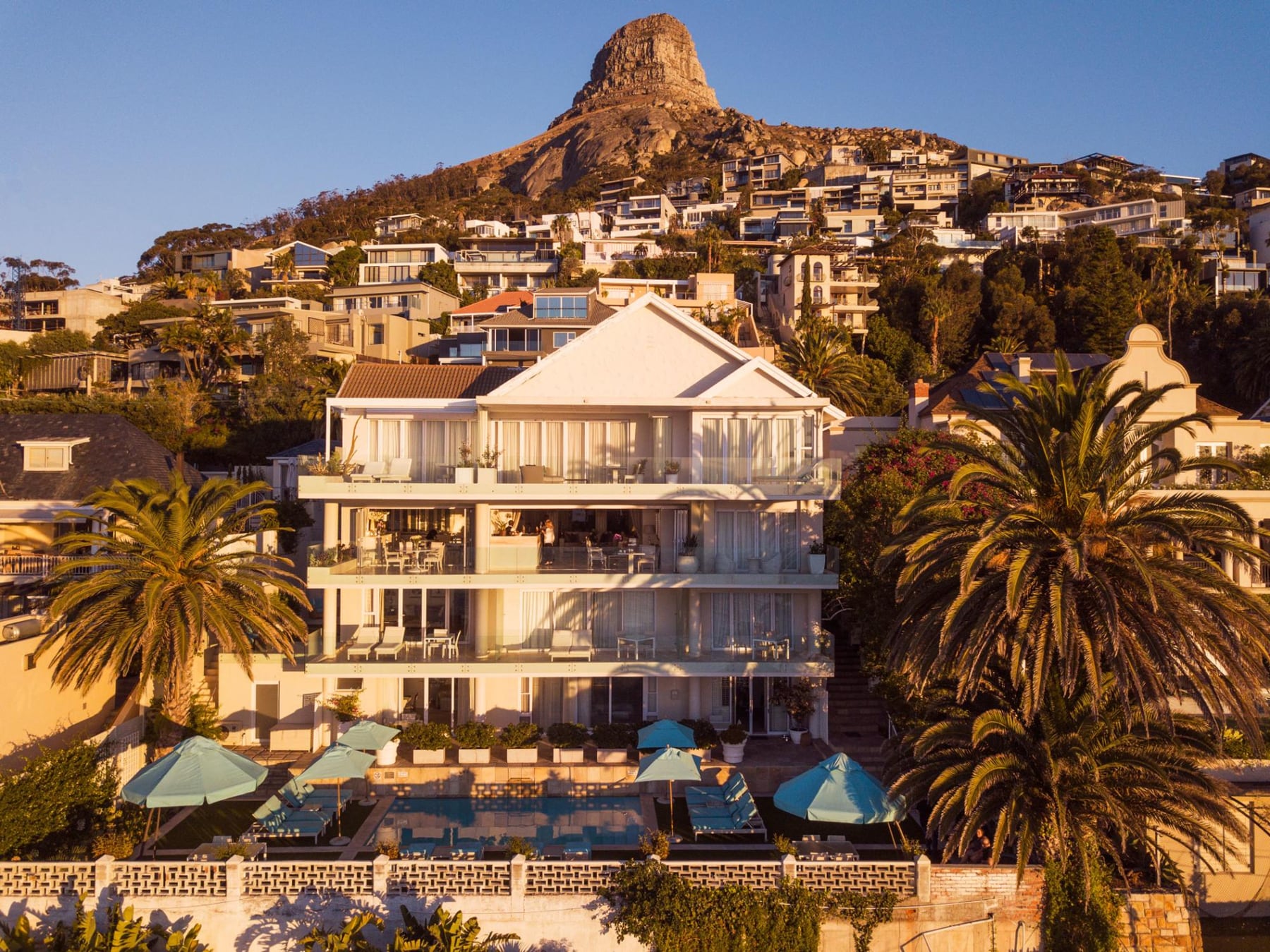
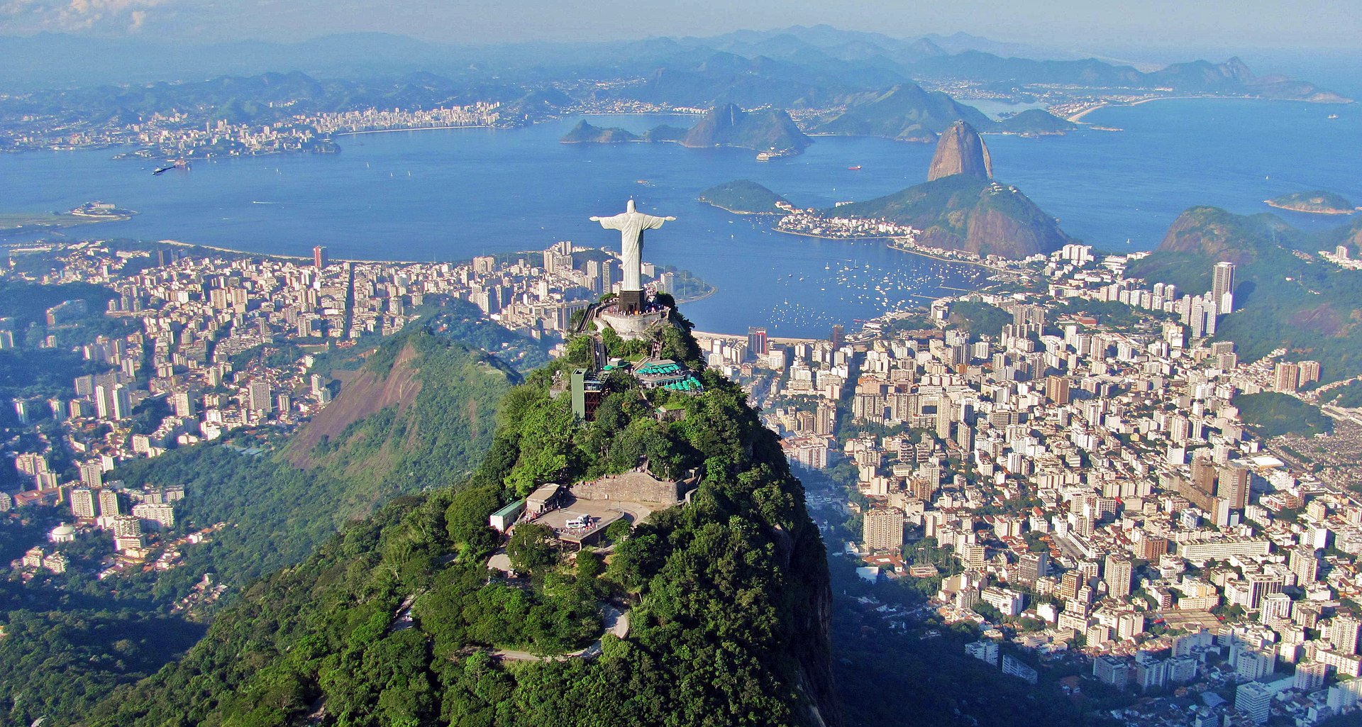
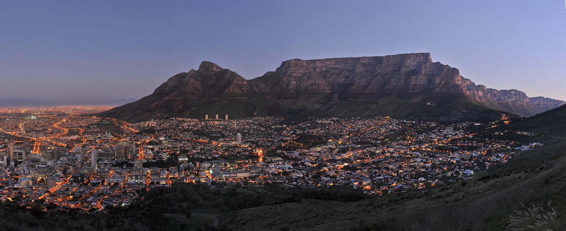
The extent of Cape Town has varied considerably over time. It originated as a small settlement at the foot of Table Mountain and has grown beyond its city limits as a metropolitan area to encompass the entire Cape Peninsula to the south, the Cape Flats, the Helderberg basin and part of the Steenbras catchment area to the east, and the Tygerberg hills, Blouberg and other areas to the north. Robben Island in Table Bay is also part of Cape Town. It is bounded by the Atlantic Ocean to the west, and False Bay to the south. To the north and east, the extent is demarcated by boundaries of neighbouring municipalities within the Western Cape province.
The official boundaries of the city proper extend between the City Bowl and the Atlantic Seaboard to the east and the Southern Suburbs to the south. The City of Cape Town, the metropolitan municipality that takes its name from the city covers the Greater Cape Town metropolitan area, known as the Cape Metropole, extending beyond the city proper itself to include a number of satellite towns, suburbs and rural areas such as Atlantis, Bellville, Blouberg, Brackenfell, Durbanville, Goodwood, Gordon's Bay, Hout Bay, Khayelitsha, Kraaifontein, Kuilsrivier, Macassar, Melkbosstrand, Milnerton, Muizenberg, Noordhoek, Parow, Philadelphia, Simon's Town, Somerset West, and Strand among others.
The Cape Peninsula is 52 km (30 mi) long from Mouille Point in the north to Cape Point in the south,[73] with an area of about 470 km2 (180 sq mi), and it displays more topographical variety than other similar sized areas in southern Africa, and consequently spectacular scenery. There are diverse low-nutrient soils, large rocky outcrops, scree slopes, a mainly rocky coastline with embayed beaches, and considerable local variation in climatic conditions.
The sedimentary rocks of the Cape Supergroup, of which parts of the Graafwater and Peninsula Formations remain, were uplifted between 280 and 21S million years ago, and were largely eroded away during the Mesozoic. The region was geologically stable during the Tertiary, which has led to slow denudation of the durable sandstones. Erosion rate and drainage has been influenced by fault lines and fractures, leaving remnant steep-sided massifs like Table Mountain surrounded by flatter slopes of deposits of the eroded material overlaying the older rocks.
There are two internationally notable landmarks, Table Mountain and Cape Point, at opposite ends of the Peninsula Mountain Chain, with the Cape Flats and False Bay to the east and the Atlantic Ocean to the west. The landscape is dominated by sandstone plateaux and ridges, which generally drop steeply at their margins to the surrounding debris slopes, interrupted by a major gap at the Fish Hoek–Noordhoek valley.
In the south much of the area is a low sandstone plateau with sand dunes. Maximum altitude is 1113 m on Table Mountain. The Cape Flats (Afrikaans: Kaapse Vlakte) is a flat, low-lying, sandy area, area to the east the Cape Peninsula, and west of the Helderberg much of which was wetland and dunes within recent history. To the north are the Tygerberg Hills and the Stellenbosch district.
The Helderberg area of Greater Cape Town, previously known as the "Hottentots-Holland" area, is mostly residential, but also a wine-producing area east of the Cape Flats, west of the Hottentots Holland mountain range and south of the Helderberg mountain, from which it gets its current name. The Helderberg consists of the previous municipalities of Somerset West, Strand, Gordons Bay and a few other towns. Industry and commerce is largely in service of the area.
After the Cape Peninsula, Helderberg is the next most mountainous part of Greater Cape Town, bordered to the north and east by the highest peaks in the region along the watershed of the Helderberg and Hottentots Holland Mountains, which are part of the Cape Fold Belt with Cape Supergroup strata on a basement of Tygerberg Formation rocks intruded by part of the Stellenbosch granite pluton.
The region includes the entire catchment of the Lourens and Sir Lowry's rivers, separated by the Schapenberg hill, and a small part of the catchment of the Eerste River to the west. The Helderberg is ecologically highly diverse, rivaling the Cape Peninsula, and has its own endemic ecoregions and several conservation areas.
To the east of the Hottentots Holland mountains is the valley of the Steenbras River, in which the Steenbras Dam was built as a water supply for Cape Town. The dam has been supplemented by several other dams around the western Cape, some of them considerably larger. This is almost entirely a conservation area, of high biodiversity. Bellville, Brackenfell, Durbanville, Kraaifontein, Goodwood and Parow are a few of the towns that make up the Northern Suburbs of Cape Town. In current popular culture these areas are often referred to as being beyond the "boerewors curtain," a play on the term "iron curtain."
UNESCO declared Robben Island in the Western Cape a World Heritage Site in 1999. Robben Island is located in Table Bay, some 6 km (3.7 mi) west of Bloubergstrand, a coastal suburb north of Cape Town, and stands some 30m above sea level. Robben Island has been used as a prison where people were isolated, banished, and exiled for nearly 400 years. It was also used as a leper colony, a post office, a grazing ground, a mental hospital, and an outpost.
The coastline of Cape Town is roughly 307 km long, from Silwerstroomstrand at 33°34′14.994″S 18°20′34.959″E on the west coast to slightly south of Kogelbaai at 34°16′10.554″S 18°50′44.905″E on the east coast of False Bay.
.JPG "Exquisite Properties")